Lists & Segments
The ZIP Code Made a List a Map
The Zone Improvement Plan code, introduced in 1963, gave every postal address a five-digit number that could be sorted, aggregated and matched to census data — the moment a mailing list became a geographic instrument.
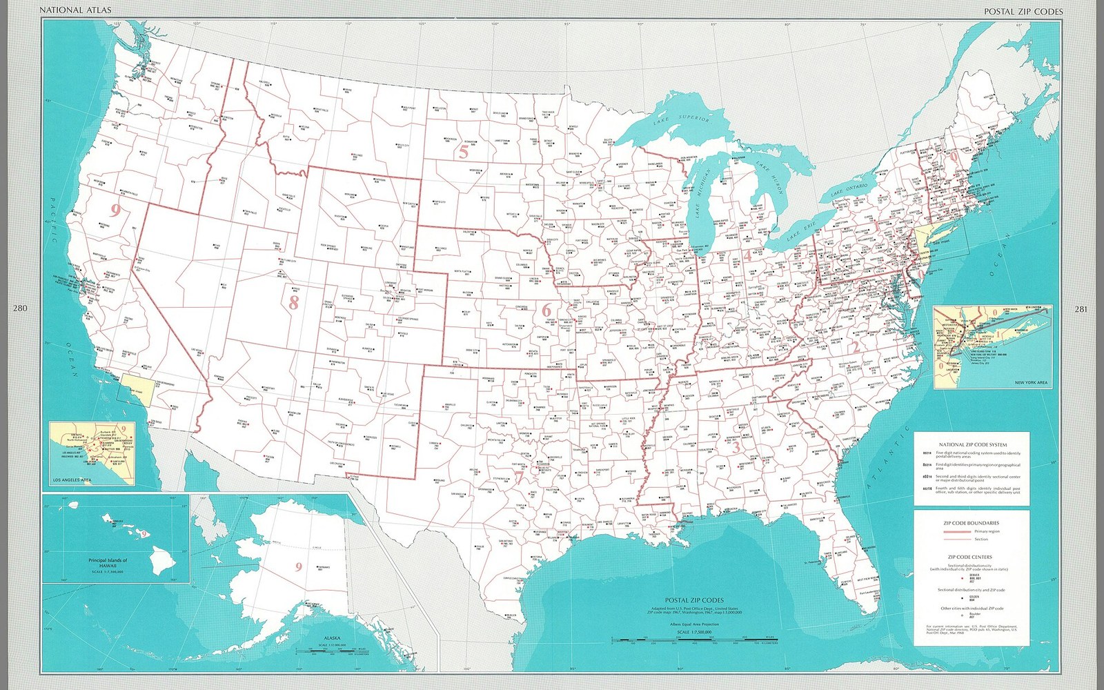
Five digits, and a mailing list could be sorted, aggregated and matched against the census.Photo: Postal zip codes - adapted from U. S. Post Office Dept., United States ZIP code map- 1967, Washington, 1967, map 1-3,000,000. · Wikimedia Commons
Five digits assigned to every postal address in 1963 turned the mailing list from a roster of names into a geographic instrument that could be sorted, sliced and matched to the census.
From Delivery Tool to Marketing Infrastructure
The Zone Improvement Plan, announced by the United States Post Office Department on 1 July 1963, was conceived entirely as an operational measure. A nation of 180 million people was generating more mail than postal clerks could route by memory, and the five-digit code was meant to speed mechanised sorting. The first three digits identified a sectional centre facility — a regional processing hub — and the final two narrowed delivery to a specific post office or zone within it. Efficient, administrative, and, in its designers' intentions, nothing more.

Before the file there was the drawer: the broker's card index, rented by the thousand names.
Photo: Tima Miroshnichenko / Pexels
What the postal engineers did not anticipate was that five digits attached to every American address would simultaneously create a shared geographic key that any file containing an address could now carry. A mailing list was no longer only a sequence of names and street addresses; it was a set of map coordinates expressed in numerical form. Two files that shared ZIP codes could be compared, merged and ranked without the painstaking hand-matching of city names and county lines that had made cross-referencing large lists nearly impossible before 1963.
List brokers absorbed this quickly. A compiled list — built from telephone directories, automobile registrations, or magazine subscriber rolls — had always been sortable by state, and at some effort by city. ZIP-code sorting made it possible to select only the records falling within a specific cluster of delivery zones: the prosperous suburbs on one side of a metropolitan area, say, rather than the metropolitan area as a whole. Rental orders that had previously been described by state or city began to be described by ZIP code, and selectability became a selling point that justified premium pricing per thousand names.
The census connection sharpened everything further. The Bureau of the Census published demographic summary data at the ZIP code level beginning with the 1970 enumeration, making it possible to attach income estimates, household size figures, and occupation breakdowns to a mailer's rental selection before a single piece was printed. A catalogue merchant in Chicago could now specify records only in ZIP codes where median household income exceeded a threshold, or where owner-occupied housing was above a given share of the stock — without knowing a single individual on the list by name. The geographic unit was doing the qualifying work.

ZIP+4 resolved an address to a block face; postage discounts, not segmentation, drove its adoption.
This capacity reached its most systematic expression when Jonathan Robbin built Claritas around the same ZIP-code geography. His PRIZM cluster system, launched in 1974, assigned every ZIP code in the country to one of forty lifestyle-demographic segments — labels such as "Blue Blood Estates" or "Shotguns and Pickups" that compressed census variables into actionable targeting categories. Robbin's contribution was not the ZIP code itself but the recognition that the code had made neighbourhood character measurable at scale. A list broker renting against PRIZM clusters was, in effect, renting a sociological map.
The merge-purge process also benefited directly. When a mailer rented several lists simultaneously, duplicate suppression had relied on matching names and addresses character by character — an error-prone procedure made worse by inconsistent abbreviations and spelling. ZIP codes gave deduplication a fast first-pass filter: records sharing an identical five-digit code and a close street-number string could be flagged as probable duplicates far more efficiently than by address text alone. Processing costs fell, and the reliability of cleaned files rose.
None of this was lost on the Federal Trade Commission, which had begun watching the list industry's data practices through the early 1970s, or on the Better Business Bureau, whose standards for compiled-list accuracy were written with geographic selectability in mind. The ZIP code had given direct marketers a shared infrastructure they had not built and did not pay for — a federally maintained geographic grid that converted every postal address into a sortable, aggregable, census-matchable unit. What began as a routing aid for sorting machines became, within a decade, the skeleton on which the modern list industry was constructed.